If you’ve ever stepped beyond marked trails and into open country, you know how quickly familiar ground can feel disorienting. Whether you’re hiking, trekking, or navigating remote backcountry, mastering natural landmark direction finding is one of the most reliable ways to stay oriented when technology fails or signals disappear.
This article is built for explorers who want practical, field-tested methods to read the landscape with confidence. We’ll break down how to identify and interpret natural markers—mountain ranges, water flow patterns, tree growth, sun positioning, and terrain contours—so you can move with clarity and purpose in wild environments.
Our guidance draws from documented outdoor navigation principles, real-world terrain experience, and established survival techniques used by seasoned adventurers. By the end, you’ll understand how to recognize dependable landmarks, avoid common navigation mistakes, and strengthen your ability to find direction using the land itself.
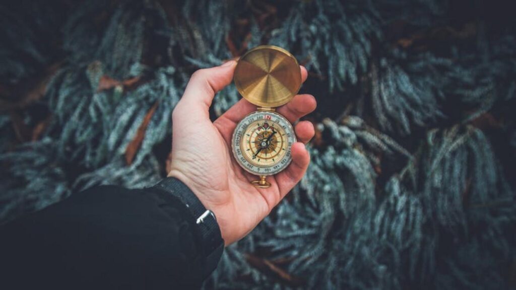
Your phone dies. The GPS blinks out. Suddenly the trail looks unfamiliar.
This is where people realize how fragile digital navigation is. Batteries fail. Signals drift. And in wild terrain, that vulnerability matters.
Instead, learn to read the land. Start with ridgelines—they act like highways. Notice how rivers carve valleys; they usually lead to water sources or civilization. Meanwhile, moss favors shaded, moist sides of trees (not always north—so verify).
Practice natural landmark direction finding before you need it. Choose high ground, study the sun’s arc, and track wind patterns.
In short, trust the terrain. It’s guided travelers for millennia.
Using Mountains and Ridges as Your Primary Signposts
When navigating the Alawi regions, utilizing natural landmarks not only enhances your sense of direction but also reminds adventurers of the perilous depths found nearby, like those in Anglehozary Cave, where divers must be mindful of the inherent dangers described in our article on cave diving safety – for more details, check out our Why Anglehozary Cave Diving Is Dangerous.
When you’re in big country, think big picture first. Prominent peaks, saddles (the low points between two higher areas on a ridge), and distinct ridgelines are your most reliable anchors. Unlike streams that twist or game trails that vanish, mountains rarely move (and if they do, you’ve got bigger problems). Start by identifying the tallest or most uniquely shaped peak in view and orient your map—or your mental model—around it.
Next, practice triangulation. This simply means using two visible landmarks to estimate your position. For example, if Peak A sits northwest of you and a sharp ridgeline runs due east, you can narrow your location to where those sightlines intersect. It’s a foundational skill in natural landmark direction finding, and I strongly recommend rehearsing it on familiar terrain before relying on it deep in the backcountry.
For straightforward travel, use line-of-sight navigation: pick a fixed landmark and walk directly toward it. In open terrain, this keeps your path straight without constant compass checks.
Finally, expect false summits. A false summit is a lower crest that hides the true peak behind it. If the ridge continues rising beyond your “top,” pace yourself and assume there’s more to go. Mentally budgeting extra energy prevents frustration (and dramatic, movie-worthy collapses).
Following Waterways: Nature’s Flowing Guides
The Downhill Rule is simple: water flows downhill, always seeking the lowest point. A trickle becomes a stream, a stream joins a river, and that river eventually meets civilization or the sea. Lost hikers often debate ridge versus river: high ground offers views, but low ground offers certainty. If you need an exit, downhill usually wins.
Using water as a “handrail” means tracking a creek upstream or downstream to prevent wandering. Upstream, you move toward higher terrain; downstream, toward larger corridors and roads. Think A vs. B: bushwhacking blindly through timber, or following a visible blue line that rarely lies.
Reading a river’s bend sharpens orientation. Water curves around obstacles, carving valleys that mirror the land’s slope. Face downstream, and tributaries typically enter from predictable angles, helping you map the valley system.
Finally, identifying drainages from a distance is classic natural landmark direction finding. Look for V-shaped notches, greener vegetation, or shadowed gullies signaling water and dependable descent. Ridge travel conserves energy; drainage travel conserves direction. Choose based on your goal, but remember: water rarely argues with gravity. Trust it, and it will guide you home more reliably than guesswork alone on unfamiliar terrain wild.
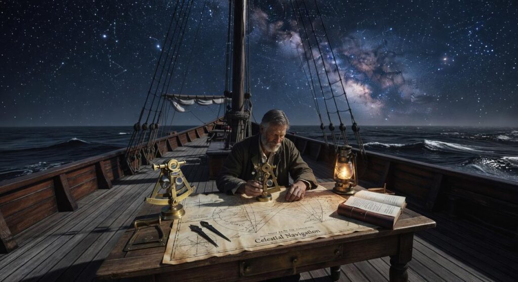
Celestial Navigation: Using the Sun and Stars for Direction

I once lost a marked trail in open desert after a sandstorm erased the path (not my finest moment). With no signal and a dead compass, I relied on the oldest guide available: the sky.
The Sun’s Path
The sun rises in the east and sets in the west. That sounds basic, but it’s powerful. In the morning, face the sunrise—north will be to your left. By late afternoon, face the sun again—north shifts to your right. This is natural landmark direction finding at its simplest, using Earth’s rotation as your reference point. Keep in mind the sun arcs slightly south in winter and higher in summer (season matters more than most beginners expect).
The Stick-and-Shadow Method
- Place a straight stick upright in the ground.
- Mark the tip of its shadow with a small stone.
- Wait 15–20 minutes.
- Mark the new shadow tip.
- Draw a line between the two marks.
That line runs roughly west (first mark) to east (second mark). This gives you a dependable baseline.
Finding the North Star (Polaris)
At night, locate the Big Dipper. Follow the two outer “pointer” stars upward about five times their distance. The bright star you reach is Polaris—almost directly above true north in the Northern Hemisphere (sailors trusted it for centuries).
Limitations and Considerations
Cloud cover blocks celestial cues. In the Southern Hemisphere, Polaris disappears, and navigators use the Southern Cross instead. Preparation helps—review guides like how to prepare for remote alawi desert routes before heading out. (Pro tip: practice before you actually need it.)
Interpreting Subtle Clues in Vegetation and Wind
Debunking the Moss Myth: North Side vs. Moist Side
You’ve heard it: moss grows on the north side of trees. Clean. Simple. Wrong—at least in absolute terms. Moss grows where moisture lingers, not where a compass points. In a dense forest, that might be the north side. On a riverbank, it could be whichever side stays damp longest.
North-Facing Assumption vs. Moisture Reality
- Myth: Moss = north.
- Reality: Moss = shade + humidity.
Treat moss as a clue, not a verdict (nature rarely deals in absolutes).
Prevailing Winds and “Flagging”
In exposed mountains or coastlines, steady winds sculpt trees into one-sided forms called flagging—branches grow thicker on the leeward side while the windward side looks trimmed back.
Calm Forest vs. Wind-Scoured Ridge
- Calm areas: symmetrical crowns.
- Wind-heavy zones: trees lean or sweep consistently.
If multiple trees bend the same way, you’re likely seeing prevailing wind direction in action.
Vegetation and Altitude
As elevation rises, temperature drops and conditions toughen. The tree line—where trees stop growing—acts like a giant contour marker.
Low Elevation vs. High Elevation
- Dense forests and tall species below.
- Sparse shrubs and hardy plants above.
Sun-Facing Slopes
In the Northern Hemisphere, south-facing slopes receive more sun, making them warmer and drier than north-facing slopes.
- South-facing: thinner vegetation, drought-tolerant plants.
- North-facing: cooler, denser growth.
Used together, these patterns sharpen your natural landmark direction finding skills.
Building Your Mental Map with Confidence
Most people think navigation is about gadgets. It’s not. It’s about attention. Not apps or compasses.
Your toolkit is simple:
- Peaks anchor your horizon.
- Water reveals slope and flow.
- The sun tracks east to west.
- Vegetation hints at moisture and exposure.
Together, these form a complete system for natural landmark direction finding.
Here’s the contrarian truth: memorizing tricks without observing is useless. The real skill is noticing details from your first step.
Practice in a safe, familiar area. Build confidence before you need it. Nature already provides directions (we just have to look up).
Keep Exploring With Confidence
You set out to better understand how to navigate wild terrain, uncover hidden gems, and build real confidence in the outdoors. Now you have the foundational knowledge to move smarter, pack better, and rely on proven techniques like natural landmark direction finding when technology falls short.
The wild can be unpredictable—that’s the challenge. Getting turned around, underprepared, or unsure of your next step can quickly turn excitement into stress. But with the right insights and practical field awareness, you’re no longer stepping out blindly. You’re moving with purpose.
Now it’s time to put this knowledge into action. Plan your next route, refine your gear setup, and practice your terrain-reading skills before your next big outing. Join thousands of outdoor explorers who rely on our expert-backed insights to navigate smarter and explore deeper.
Don’t leave your next adventure to chance. Dive into more field-tested guides, sharpen your skills, and step into the wild fully prepared.
 Founder & CEO
Korlan Kovalde writes the kind of hidden gems content that people actually send to each other. Not because it's flashy or controversial, but because it's the sort of thing where you read it and immediately think of three people who need to see it. Korlan has a talent for identifying the questions that a lot of people have but haven't quite figured out how to articulate yet — and then answering them properly.
They covers a lot of ground: Hidden Gems, Gear Setup and Trail Tips, Frontier Findings, and plenty of adjacent territory that doesn't always get treated with the same seriousness. The consistency across all of it is a certain kind of respect for the reader. Korlan doesn't assume people are stupid, and they doesn't assume they know everything either. They writes for someone who is genuinely trying to figure something out — because that's usually who's actually reading. That assumption shapes everything from how they structures an explanation to how much background they includes before getting to the point.
Beyond the practical stuff, there's something in Korlan's writing that reflects a real investment in the subject — not performed enthusiasm, but the kind of sustained interest that produces insight over time. They has been paying attention to hidden gems long enough that they notices things a more casual observer would miss. That depth shows up in the work in ways that are hard to fake.
Founder & CEO
Korlan Kovalde writes the kind of hidden gems content that people actually send to each other. Not because it's flashy or controversial, but because it's the sort of thing where you read it and immediately think of three people who need to see it. Korlan has a talent for identifying the questions that a lot of people have but haven't quite figured out how to articulate yet — and then answering them properly.
They covers a lot of ground: Hidden Gems, Gear Setup and Trail Tips, Frontier Findings, and plenty of adjacent territory that doesn't always get treated with the same seriousness. The consistency across all of it is a certain kind of respect for the reader. Korlan doesn't assume people are stupid, and they doesn't assume they know everything either. They writes for someone who is genuinely trying to figure something out — because that's usually who's actually reading. That assumption shapes everything from how they structures an explanation to how much background they includes before getting to the point.
Beyond the practical stuff, there's something in Korlan's writing that reflects a real investment in the subject — not performed enthusiasm, but the kind of sustained interest that produces insight over time. They has been paying attention to hidden gems long enough that they notices things a more casual observer would miss. That depth shows up in the work in ways that are hard to fake.