If you’re searching for reliable guidance on exploring wild landscapes, mastering outdoor basics, and uncovering places most travelers overlook, you’re in the right place. Venturing beyond marked trails and popular parks requires more than enthusiasm—it demands practical knowledge, the right gear setup, and a clear understanding of how to navigate safely and responsibly.
This article is designed to help you confidently approach frontier environments, from preparing for rugged terrain to identifying hidden gems that don’t appear on standard maps. We break down essential strategies, field-tested equipment recommendations, and smart planning techniques—including how modern uncharted territory mapping tools are changing the way explorers chart remote regions.
Our insights are grounded in hands-on outdoor experience, continuous research into emerging exploration methods, and careful analysis of evolving terrain technologies. Whether you’re a beginner learning the basics or an experienced adventurer seeking new challenges, you’ll find practical, trustworthy guidance to help you explore further—and smarter.
Charting the Uncharted: A Modern Explorer’s Cartography Kit
The wild still has blank spaces—areas where commercial maps fail. When GPS tracks drift, you need more than hope. Start with analog vs. digital: a compass and topographic notebook offer fail-safe reliability, while satellite communicators and offline GIS apps deliver precision. (Redundancy is safety.)
Next, compare drone imagery vs. ground surveys: drones capture aerial orthomosaics—stitched photo maps—fast, but boots-on-the-ground notes verify hazards like loose scree. In contrast, preloaded satellite layers provide context, whereas custom waypoints create actionable routes.
Together, these uncharted territory mapping tools transform uncertainty into dependable navigation.
Your Digital Compass: GPS Devices and Advanced Mapping Apps
When you’re miles from pavement and the signal bars disappear, dedicated GPS units like the Garmin GPSMAP or inReach stop being nice-to-haves and start being non-negotiable. These devices are built for punishment—rain, dust, drops (and the occasional “I swear I set it right here” moment). More importantly, many offer satellite communication: SOS alerts and two-way messaging via networks like Iridium, which operate far beyond cellular coverage (Garmin, 2024). I’ll admit, no device is truly fail-proof in extreme conditions—but rugged GPS units come close.
That said, smartphones have become legitimate navigation powerhouses. Apps like Gaia GPS and onX Offroad provide detailed satellite imagery, topographic maps (maps that show elevation changes), and public land boundary layers. The key? Download offline maps before you leave service. Without that step, your sleek app becomes an expensive paperweight. Many explorers now rely on these uncharted territory mapping tools because they combine convenience with surprisingly advanced features.
Essential Features Breakdown
When choosing a device or app, prioritize:
- Track recording accuracy (how precisely your route is logged)
- Waypoint management (saving key spots like camps or water sources)
- Route planning tools for pre-trip prep
- High-quality map layers with frequent updates
Some argue smartphones alone are enough. Maybe. But battery fragility and weather exposure still worry me—and for good reason.
Field Tip: Use your phone in airplane mode and pair it with a portable power bank. This can extend battery life dramatically on multi-day trips (sometimes doubling usable time, depending on usage). It’s not glamorous, but neither is getting lost like a side character in a survival movie.
The Explorer’s Eye in the Sky: Drones and Satellite Imagery
Before you lace up your boots, open your laptop. Pre-trip reconnaissance with tools like Google Earth Pro and Sentinel Hub lets you scan terrain in remarkable detail—free of charge. Start by tracing potential routes and marking natural corridors such as ridgelines or dry creek beds. Then zoom in to identify water sources (look for dark green vegetation clusters) and hazards like sheer cliffs or landslide scars. This kind of satellite-based scouting—often called remote sensing (collecting information about an area without physically being there)—can prevent costly detours and dangerous surprises. Pro tip: compare historical imagery layers to spot seasonal river changes before committing to a route.
Once you’re on the ground, lightweight drones such as the DJI Mini series change the game entirely. Instead of scrambling blindly into a canyon, send your drone ahead for a real-time aerial view. In seconds, you can locate a passable ridge or confirm whether that “shortcut” is actually a dead end (it often is). Drones provide situational awareness—a clear understanding of your surroundings—that used to require climbing the tallest nearby peak.
Finally, consider basic photogrammetry. This technique stitches overlapping drone photos into detailed 3D models and custom topographic maps. Think of it as building your own miniature Google Earth for a specific site. Among modern uncharted territory mapping tools, this offers unmatched precision for small areas. If you’re serious about exploration, this isn’t overkill—it’s preparation.
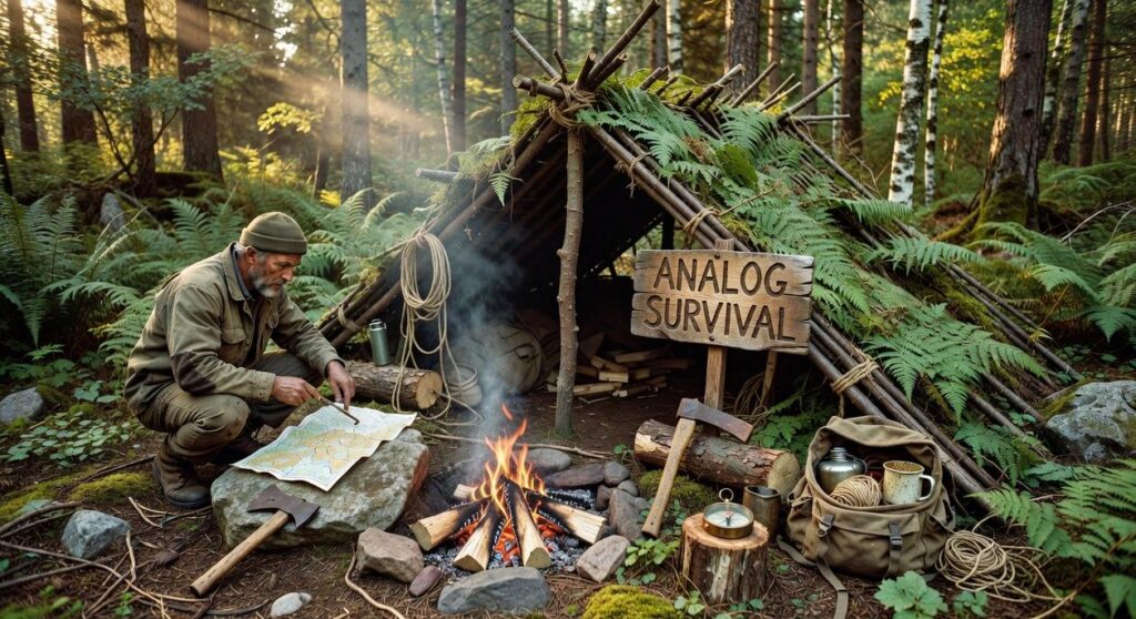
When Technology Fails: Essential Analog Tools
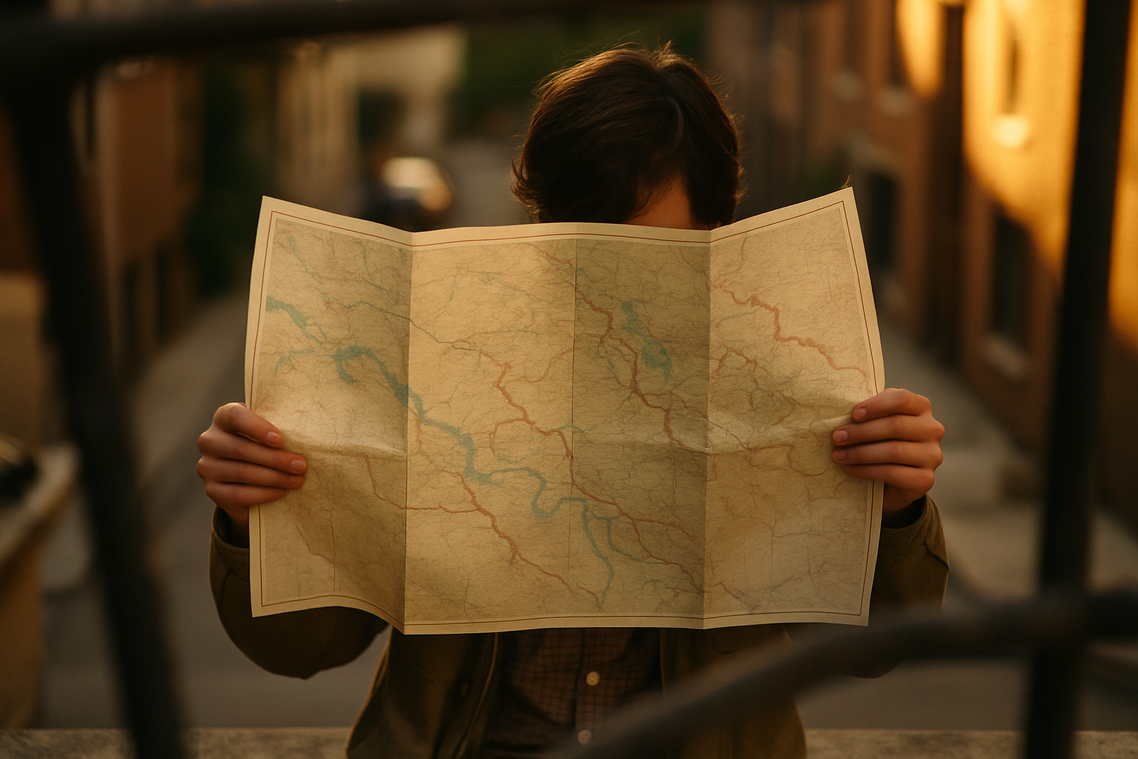
When batteries die and signals vanish, analog navigation becomes more than a backup—it becomes survival. First, the indispensable topographic map. A topographic map is a detailed paper map showing terrain using contour lines—thin lines that connect points of equal elevation. The closer those lines are, the steeper the terrain. Spread out? Expect a gentler slope. Even if the map isn’t hyper-detailed, it reveals ridgelines, valleys, and water sources (the things that actually matter when you’re tired and daylight is fading).
Next, mastering a lensatic or baseplate compass means going beyond “finding north.” By aligning the compass edge with a map’s grid and rotating the bezel to match magnetic declination (the difference between true north and magnetic north), you can take a bearing—your direction of travel. With two bearings from known landmarks, triangulation lets you pinpoint your position without electronics. That’s real precision.
Meanwhile, an altimeter watch uses barometric pressure to estimate elevation. Match that reading to contour lines, and your location narrows dramatically. Bonus: falling pressure often signals incoming storms.
Ultimately, redundancy is the rule: two is one, and one is none. These aren’t mere backups—they’re resilient, uncharted territory mapping tools that work when everything else doesn’t. For deeper context, see how climate and geography shape frontier exploration.
From Data to Destination: Building Your Expedition Map
Start simple. A reliable workflow prevents chaos in the field (and panic at sunset).
- Use satellite imagery for big-picture planning, identifying water sources, ridgelines, and hazards.
- Load your route into a GPS app for turn-by-turn tracking.
- Fly a drone for real-time problem solving when trails disappear.
- Keep an analog map and compass as fail-safes.
After the trip, consolidate GPS tracks, waypoints, and drone photos into one file. Treat it as a living document, refining notes each visit. Over time, uncharted territory mapping tools create resource no map can.
Your Adventure, Your Map
First, take a breath. A year ago, planning a route into wilderness meant weeks of guesswork. Today, after a few evenings of practice, you can layer satellite imagery, topographic maps, and field notes into a reliable plan.
By combining digital scans, drone overviews, and paper charts, you reduce risk and replace doubt with direction. Think of it as assembling your Avengers team—each tool covering another’s blind spot (because Iron Man needed backup).
Start small. Master one platform this month. Then stack next. With uncharted territory mapping tools, the edge of the map is closer than ever.
Keep Exploring What Others Overlook
You came here looking for clarity on how to navigate wild terrain, uncover hidden gems, and approach exploration with confidence. Now you have the foundational knowledge to move smarter, pack better, and step into the unknown with purpose.
The truth is, the biggest frustration for explorers isn’t the trail itself — it’s uncertainty. Not knowing what gear will hold up. Not knowing what terrain lies ahead. Not knowing if you’re truly prepared. That hesitation can keep incredible experiences just out of reach.
You don’t have to explore blindly. With the right preparation, reliable gear setup, and smart use of uncharted territory mapping tools, you can turn uncertainty into calculated adventure. The difference between a stressful outing and an unforgettable one is preparation backed by real insight.
Now it’s your move. Start planning your next route, refine your setup, and apply what you’ve learned here. Thousands of outdoor enthusiasts rely on proven exploration strategies to navigate confidently and safely — and you can too.
Don’t let hesitation keep you from discovering what’s beyond the map. Take action today, prepare with intention, and step into your next wild terrain experience fully equipped to explore without limits.
 Lead Explorer & Content Specialist
Ann Wootenutter writes the kind of alawi wilderness navigation content that people actually send to each other. Not because it's flashy or controversial, but because it's the sort of thing where you read it and immediately think of three people who need to see it. Ann has a talent for identifying the questions that a lot of people have but haven't quite figured out how to articulate yet — and then answering them properly.
They covers a lot of ground: Alawi Wilderness Navigation, Frontier Findings, Gear Setup and Trail Tips, and plenty of adjacent territory that doesn't always get treated with the same seriousness. The consistency across all of it is a certain kind of respect for the reader. Ann doesn't assume people are stupid, and they doesn't assume they know everything either. They writes for someone who is genuinely trying to figure something out — because that's usually who's actually reading. That assumption shapes everything from how they structures an explanation to how much background they includes before getting to the point.
Beyond the practical stuff, there's something in Ann's writing that reflects a real investment in the subject — not performed enthusiasm, but the kind of sustained interest that produces insight over time. They has been paying attention to alawi wilderness navigation long enough that they notices things a more casual observer would miss. That depth shows up in the work in ways that are hard to fake.
Lead Explorer & Content Specialist
Ann Wootenutter writes the kind of alawi wilderness navigation content that people actually send to each other. Not because it's flashy or controversial, but because it's the sort of thing where you read it and immediately think of three people who need to see it. Ann has a talent for identifying the questions that a lot of people have but haven't quite figured out how to articulate yet — and then answering them properly.
They covers a lot of ground: Alawi Wilderness Navigation, Frontier Findings, Gear Setup and Trail Tips, and plenty of adjacent territory that doesn't always get treated with the same seriousness. The consistency across all of it is a certain kind of respect for the reader. Ann doesn't assume people are stupid, and they doesn't assume they know everything either. They writes for someone who is genuinely trying to figure something out — because that's usually who's actually reading. That assumption shapes everything from how they structures an explanation to how much background they includes before getting to the point.
Beyond the practical stuff, there's something in Ann's writing that reflects a real investment in the subject — not performed enthusiasm, but the kind of sustained interest that produces insight over time. They has been paying attention to alawi wilderness navigation long enough that they notices things a more casual observer would miss. That depth shows up in the work in ways that are hard to fake.